


Travel & Local Guides / Ontario
The Lake in Our Backyard: A Closer Look at Lake Ontario
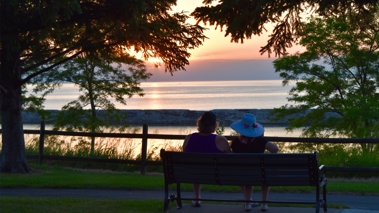
Lake Ontario is the smallest of the five Great Lakes by surface area, the last one in the chain before its water reaches the Atlantic Ocean, and the source of the name carried by an entire province.
Most people who live near Lake Ontario barely think about it. It's the big blue shape you see from the Gardiner or the QEW on the way to work, the smell of fish in August, or a decent backdrop for a sunset photo. That's about it for most of us.
This lake has an actual story behind it, and once you know a bit of it, it's hard to drive past without noticing.
Where the Name "Ontario" Comes From
"Ontario" isn't an English word. It comes from the Huron (Wendat) word "skanadario" or "kanadario," often translated as "beautiful water" or "sparkling water." Some historians trace it instead to an Iroquois word meaning "great lake." Either way, the meaning points to the same idea: Indigenous peoples were describing this lake as beautiful long before Europeans ever saw it.
French explorers picked up the word from Indigenous guides in the 1600s, and over time the pronunciation settled into something close to "Ontario." The name attached itself to the lake first, then spread to the entire province.
So the province is named after a lake, and the lake got its name from the people who lived beside it thousands of years earlier.
A Few Facts That Might Surprise You
Lake Ontario doesn't get talked about like Lake Superior or Lake Michigan. It's the smallest of the Great Lakes by surface area, but the numbers on this lake are still pretty striking.
- It's deep. Lake Ontario reaches depths of over 244 metres (802 feet) at its deepest point. That's deeper than the CN Tower is tall, and the CN Tower sits right on its shore.
- It rarely freezes over. The depth keeps most of the lake open even in the coldest winters. Ice forms along the shallow edges, but the middle of the lake usually stays liquid.
- It holds a lot of water. Even at its small surface area, the lake holds around 1,639 cubic kilometres of water, enough to cover the entire province in roughly half a metre of water.
- It's the last lake before the ocean. Water from Superior, Michigan, Huron, and Erie all flows through Lake Ontario before draining into the St. Lawrence River and out to the Atlantic.
- It was carved by glaciers. The basin formed around 12,000 years ago during the last Ice Age. Every beach along the shoreline sits on ground that a glacier once covered.
The Best Spots Along the Shoreline
Here's where to go if you actually want to spend time on this lake instead of just passing it.
Niagara-on-the-Lake
This is where the Niagara River meets Lake Ontario. Between the wineries, the historic streets, and the waterfront near Fort George, it's one of the more photogenic stretches of shoreline, especially in the fall.
Find Nearby Stays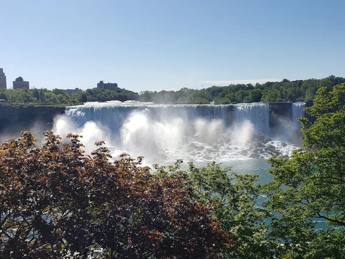
Sandbanks Provincial Park
It's a longer drive, but worth it. Sandbanks has the largest baymouth barrier dune formation in the world, and the beaches here feel closer to an East Coast shoreline than what you'd expect in Ontario. The water stays shallow and warm for a long stretch, which makes it a solid choice for families.
Find Nearby Stays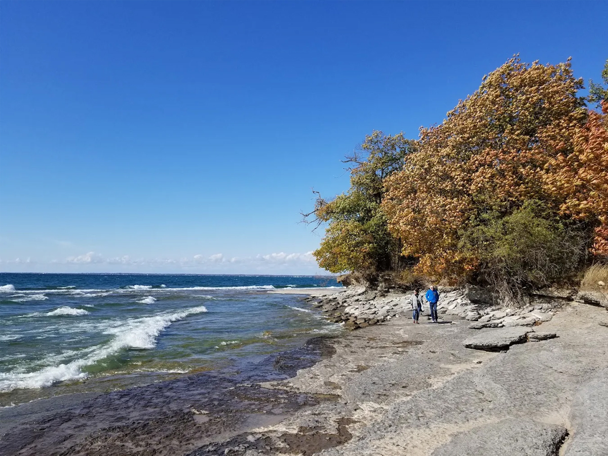
Scarborough Bluffs
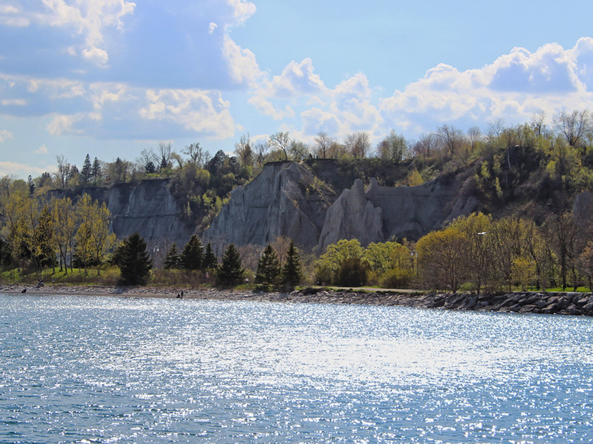
These cliffs run about 15 kilometres along the Toronto shoreline and rise up to 90 metres in some spots. The layered sand and clay give them a texture you won't find anywhere else nearby. Bluffer's Park at the base has a beach, a marina, and one of the best views of the cliffs from below.
Toronto Islands
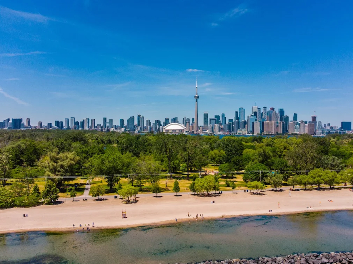
A short ferry ride from downtown gets you skyline views, quiet beaches, and bike paths that feel far removed from the city. Centre Island and Ward's Island each have their own pace, one busier and one quieter, but both offer a break from downtown noise.
Presqu'ile Provincial Park
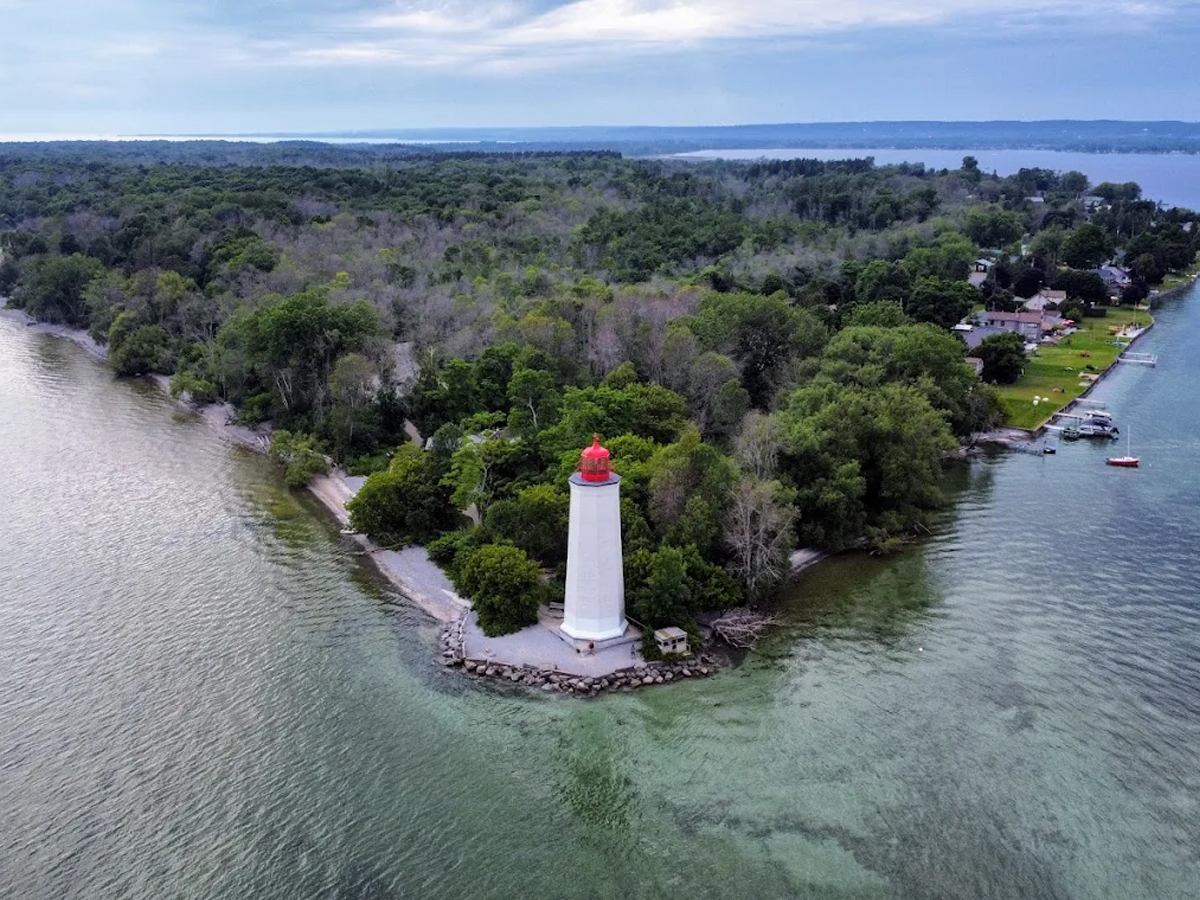
Quieter and less known than some of the others. Presqu'ile has sandy beaches, a lighthouse dating back to 1840, and a marsh boardwalk that's popular with birdwatchers during migration season.
Hamilton's Waterfront Trail
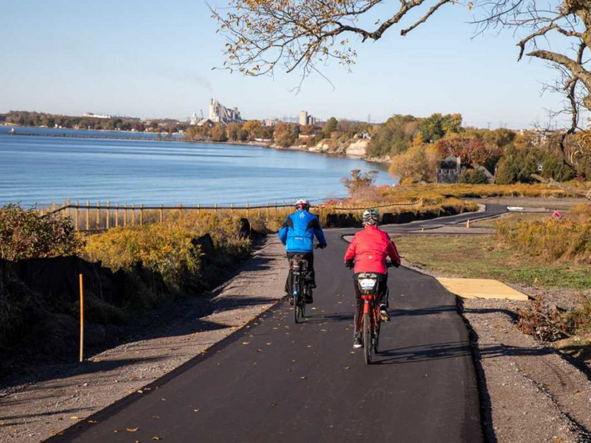
Hamilton doesn't get enough credit here. Its Waterfront Trail connects parks, piers, and beaches along the western edge of the lake, and Confederation Park has a beach-and-boardwalk setup that's underrated for the GTA.
Common Questions About Lake Ontario
Why is Lake Ontario called Ontario?
The name comes from the Huron (Wendat) word "skanadario" or "kanadario," often translated as "beautiful water" or "sparkling water." French explorers adopted the word from Indigenous guides in the 1600s, and it later became the name of the province as well as the lake.
How deep is Lake Ontario?
Lake Ontario reaches a maximum depth of about 244 metres (802 feet), making it deeper than the CN Tower is tall.
Does Lake Ontario freeze in winter?
Lake Ontario rarely freezes over completely. Its depth keeps the centre of the lake open even in cold winters, though ice does form along the shallower shoreline.
What are the best places to visit on Lake Ontario's shoreline?
Popular spots include Niagara-on-the-Lake, Sandbanks Provincial Park in Prince Edward County, the Scarborough Bluffs and Toronto Islands in Toronto, Presqu'ile Provincial Park near Brighton, and the Waterfront Trail in Hamilton.
See Every Spot on the Map
All six shoreline spots from this guide. Select a name below to open that location directly in Google Maps.
- 1Niagara-on-the-Lake
- 2Sandbanks Provincial Park
- 3Scarborough Bluffs
- 4Toronto Islands
- 5Presqu'ile Provincial Park
- 6Hamilton Waterfront Trail
The Takeaway
Lake Ontario has been sitting here since long before there was a province named after it, shaped by glaciers, named by people who saw beauty in it thousands of years before we did, and still running along the edge of our biggest city while most of us barely look at it twice.
Next time you're near the shore, take twenty minutes and actually stop. Walk out to the Bluffs, catch a ferry to the Islands, or drive out to Sandbanks. It's still the same water the Huron once called "beautiful."